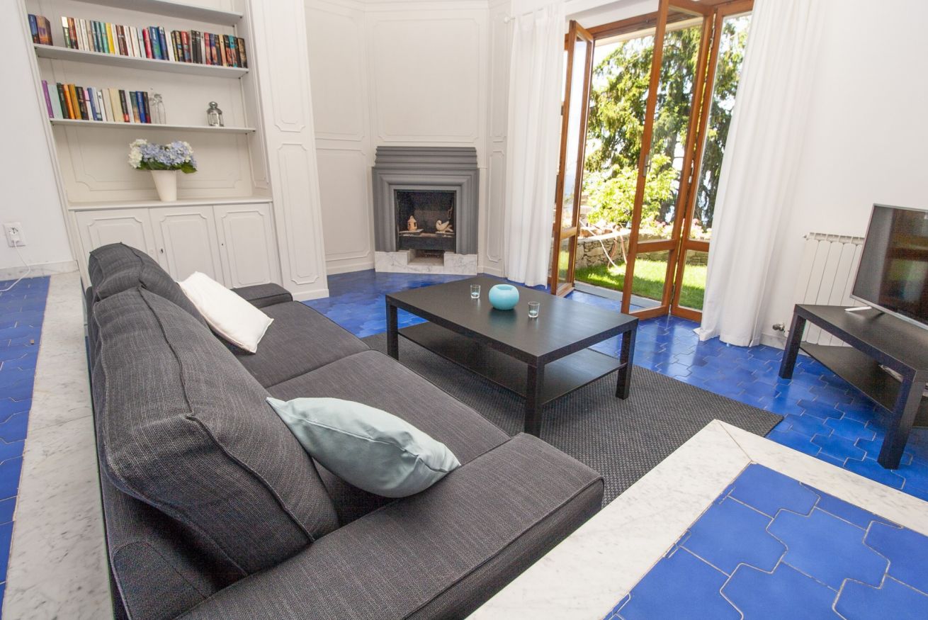
The center of the city of Camogli, which occupies the valley to the west of the Portofino mountain, overlooks the Golfo Paradiso, at the western end of the Portofino promontory, on the eastern coast, east of Genoa. The largest part of the Portofino regional natural park belongs to Camogli, while the stretch of water in front of the promontory is part of the Portofino Marine Protected Natural Area. The most important architectural aspect of the town is the presence of colorful buildings overlooking the beach. The colors and lighter horizontal lines (called string courses) were used by Camogliese sailors to more easily recognize their home between the various floors of the buildings in the village and return there after fishing. Most of the buildings in the historic center were built with a succession of additions and changes over the centuries. Often the additions also concerned individual rooms that changed both the interior and exterior appearance of the buildings.
Chiavari
The city overlooks the Ligurian Sea of the Riviera di Levante, geographically positioning itself in the center of the Gulf of Tigullio, east of Genoa. The urban core is located to the right of the Entella river, which flows here at the end of the alluvial plain, dividing the city from the adjacent Lavagna to the east; the city is also crossed by the Rupinaro stream in the westernmost area of the municipal territory and by other smaller canals. The geographical part behind the coast of the Ligurian town is usually defined as the “Chiavari hinterland”. This area is included between the middle and lower Val Fontanabuona, the Sturla valley and the Graveglia valley and was historically linked to the Chiavari capital, established in the 13th century by the Republic of Genoa in eastern Liguria.
Moneglia
The territory of Moneglia is located on the Riviera di Levante, east of Genoa, of which it is the last eastern municipality of the metropolitan area, and about 30 km from La Spezia and about 60 km from Genoa. The town is located within a large bay bordered by two promontories, both rich in Mediterranean vegetation and pine forests: to the west extends the promontory of Punta Moneglia and to the east that of Punta Rospo. While the first is entirely wild and reachable only by paths, which go upwards as far as the Comunaglia and Moneglia mountains, the second has several residential areas up to the town of Lemeglio. The Monegliese territory is mainly crossed by two torrential rivers, often dry or with little flow in the warmer months, and by numerous streams that descend from the hills around the town. In the western part of the village flows the San Lorenzo stream, covered in its final stretch and used as a road and parking, while the Bisagno stream flows to the east.
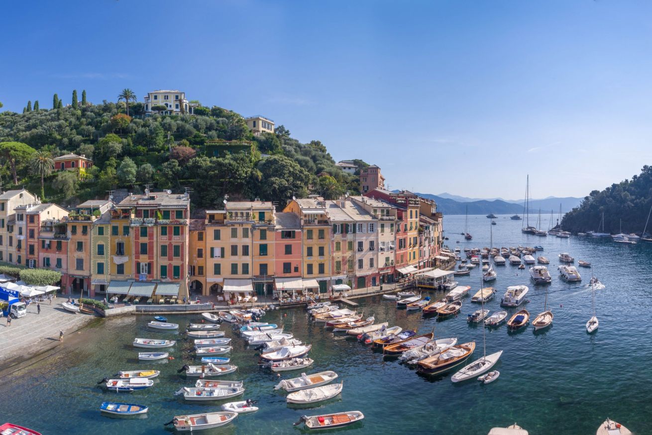
Portofino
The municipality is located in the western part of the Gulf of Tigullio, in a bay at the foot of the promontory of the same name, east of Genoa, effectively marking the geographical border between the Golfo Paradiso and the Tigullio.
The entire municipal area is included in the Portofino Regional Natural Park and in the Portofino Marine Protected Natural Area. The best way to appreciate the wonders of the park is to safely walk its most characteristic and fascinating paths, all adequately marked. Crossing the dense network of over 60 km, it is possible to discover the richness and variety of the natural environments, panoramas and complex monuments of the promontory.
Rapallo
The territory of Moneglia is located on the Riviera di Levante, east of Genoa, of which it is the last eastern municipality of the metropolitan area, and about 30 km from La Spezia and about 60 km from Genoa. The town is located within a large bay bordered by two promontories, both rich in Mediterranean vegetation and pine forests: to the west extends the promontory of Punta Moneglia and to the east that of Punta Rospo. While the first is entirely wild and reachable only by paths, which go upwards as far as the Comunaglia and Moneglia mountains, the second has several residential areas up to the town of Lemeglio. The Monegliese territory is mainly crossed by two torrential rivers, often dry or with little flow in the warmer months, and by numerous streams that descend from the hills around the town. In the western part of the village flows the San Lorenzo stream, covered in its final stretch and used as a road and parking, while the Bisagno stream flows to the east.

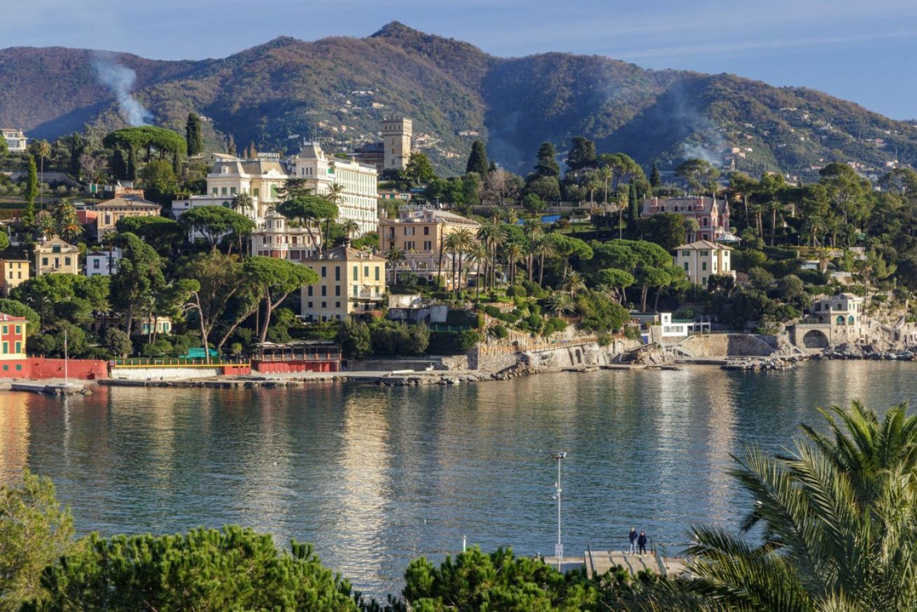
Santa Margherita Ligure
Santa Margherita Ligure is located on the eastern Ligurian Riviera, in a closed basin in the north-western part of the Portofino promontory, and in the innermost part of the Gulf of Tigullio, with the development of the “ribbon” town along two main inlets. The town – located east of Genoa – is surrounded by hills covered with Mediterranean vegetation (woods of maritime pines, chestnut trees and, in the lower part, olive groves) on which there are villas and gardens overlooking the so-called “Costa dei Delfini” , which unites the city with Portofino. The town is a popular tourist and seaside center on the Riviera di Levante.
Part of the municipal territory of Santa Margherita Ligure is included in the Portofino Regional Natural Park, while the stretch of water in front of the Portofino promontory is also part of the Portofino Marine Protected Natural Area; both entities are based in the coastal town.
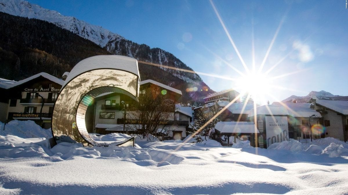
Courmayeur
Located at the foot of Mont Blanc, it is the last town you meet before arriving in France via the Mont Blanc Tunnel (which connects it to Chamonix); it is crossed by the Dora Baltea, a river that arises from the confluence of two streams, each of which crosses one of the two valleys that can be reached from Courmayeur: Val Ferret and Val Veny. It is about 27 kilometers north-west of Aosta. It is the westernmost municipality (6 ° 48’03 ”) of the Valle d’Aosta region, and the second largest. It is also the only municipality in Italy to border with both France and Switzerland, although there are no transit routes that lead directly into Swiss territory. Together with Curon Venosta and Tarvisio it is one of the three Italian municipalities to border with two foreign countries. The Mont de La Saxe landslide, above the hamlet of the same name and also visible from the hamlets of Entrèves and La Palud, is considered one of the most interesting landslides in Italy (8.4 million square meters) and is under observation by geologists around the world, especially after the recent acceleration of its movement.
Lavagna
The town develops on the left alluvial plain of the Entella river along the coast of the eastern Ligurian Riviera, in eastern Tigullio. Located to the east of Genoa, the current town develops, in addition to the historic medieval settlement, along its hinterland closed upstream by a series of hills mainly cultivated with olive groves. The village, unlike the nearby Chiavari which has pre-Roman evidence, seems to have developed in Roman times with the Latin name of Lavania. The name has remained unchanged over the centuries until it became the current toponym of Lavagna in the following centuries. According to local historical sources, in the Lombard period it was entrusted to the monks of the Irish abbot San Colombano, who, under the direction of the abbey of San Colombano di Bobbio, will promote its development. The monastic cells of Rezza (Reda) and Villa Floriano or Florania in Lavannia are mentioned in the Bobbiesi possessions of the Wala Charter, drawn up in 834 by Abbot Wala, cousin of Charlemagne.